Petroleum Asset Intelligence
& Acreage Management
Mapping opportunities. Supporting licensing success. Creating long-term asset value.
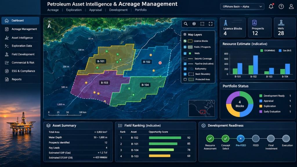
A technically defensible spatial platform that converges environmental intelligence, digital petroleum cadastre, competitive bid advisory, and regulatory asset governance.
Concession Mapping & Decision-Support System
Four Core Service Pillars
Structured advisory workflows from digital cadastre and competitive bid screening to technical due diligence and spatial asset governance.
Acreage Intelligence & Digital Cadastre
"Trusted spatial foundations for petroleum concession and licence administration."
Core Services
- Digital concession and petroleum cadastre systems
- Block coordinate and datum validation
- Licence polygons, tenure and ownership mapping
Client-Facing Deliverables
- Digital acreage registry and GIS dashboards
- Validated concession boundary maps and datasets
- Satellite monitoring and spatial activity reports
Integrated Spatial Tenure & Concession Governance
Delta Systematics Limited acts as an accountable technical partner to upstream operators, regulatory bodies, and transaction advisors. Our systems validate boundaries, screen environmental risk, and ensure defensible asset decisions.
Convergence of Subsurface & Environmental Intelligence
Unlike standalone petroleum cadastre providers, DSL integrates full ecological safeguards, ESIA compliance, flood modeling (Safe Shelter Index), and blue carbon opportunities with concession analytics.